GEOLOGICAL MAPPING
A thorough understanding of geological conditions is a foundation of geothermal fields development. There is no better way than direct observation in the field to collect primary data including stratigraphy, geological structure, distribution of altered rocks, geothermal manifestations, geomorphology, and engineering properties of soil and rocks. We have all this information inventoried in a Geographic Information System (GIS) database to ease the process of analysis and interpretation by all parties.
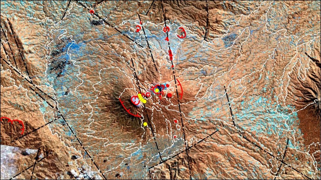
We increase the effectiveness and efficiency of geological mapping by utilizing the latest remote sensing technology that is integrated with geomorphological knowledge. Spectral and topographic information are converted into tentative geological maps that are very useful in the preparation of exploration strategies. In addition, remote sensing interpretation can be optimized to develop a geological “play” concept in term of developing a hypothetical geothermal system.
After primary data has been collected, we carry out analyzes in trusted laboratories to achieve the best results. The synthesis and interpretation is carried out by our experts to provide a better understanding of the geological conditions in the prospect area. We believe that factual geological maps and simple conceptual models resulting from this study are one of the keys to successful exploration. NewQuest Geotechnology has dedicated specialists with years of experience for each part of the study to ensure the best quality of our work.

