SOFTWARE DEVELOPMENT
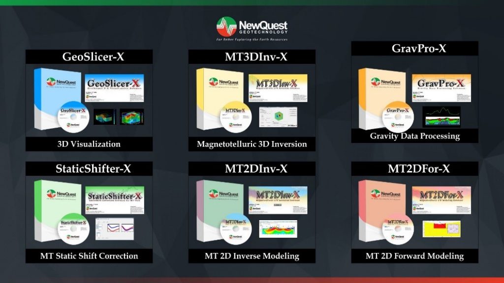
We develop foundations for designing and assuring critical capabilities in solving complex geoscientific problem based on research and development in order to help geoscientists and engineers in understanding and managing earth resources. Since 2011, we have developed 6 software with commercial trademark, such as:
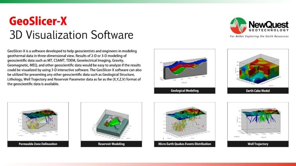
GeoSlicer-X is 3D geoscientific visualization software. It capable for geology, geophysics and reservoir data integration based on numerical or interpretative data. This software also can generate static images (still) or dynamic (animated).
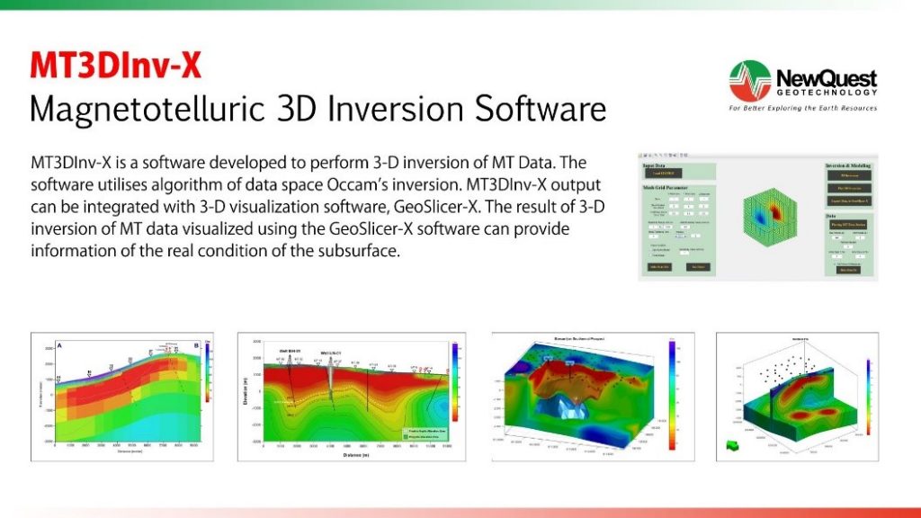
MT3DInv-X is 3-D inversion software for Magnetotelluric (MT) data. The output of 3D invert calculation visualize using GeoSlicer-X.
StaticShifter-X is used for static shift correction in Magnetotelluric (MT) data. This software implement geostatistical approach such as cokriging and averaging algorithm.
GravPro-X is used for gravity data processing, start from the field data to the Complete Bouguer Anomaly including digital tidal and terrain correction. Moreover, the software also can be used to separate regional and residual gravity anomaly, calculate Second Vertical Derivative (SVD), spectrum analysis, and 2-D modeling of gravity data.
MT2DInv-X is 2-D inversion software for Magnetotelluric data. Data inputs are TE and TM apparent resistivity, also TE and TM phase in frequency domain.
MT2DFor-X is used to perform forward modeling of Magnetotelluric (MT) data.


